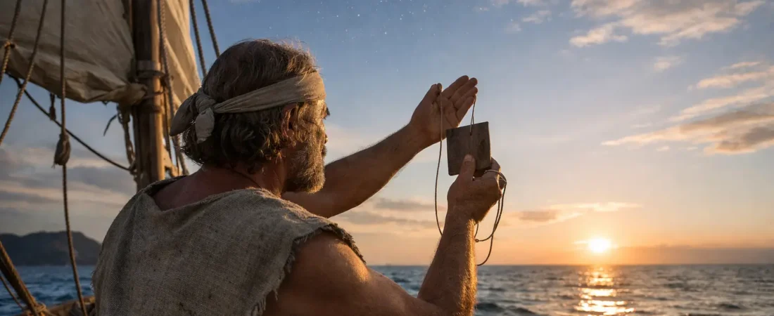
A canoe leaves shore at dusk, its sail shrinking against a blackening horizon. By morning, land is gone in every direction. There is no compass needle, no chart spread across a deck, no satellite signal waiting overhead. Yet the navigator aboard may know where the next island lies, hundreds of miles away. Understanding how ancient sailors navigated oceans begins with abandoning a modern assumption: the sea was not empty to people trained to read it.
For ancient mariners, the ocean was a moving archive of clues. Stars rose and set in dependable places. Swells carried the memory of distant weather. Birds followed daily routes between nesting grounds and feeding waters. The color of the sea, the shape of clouds, and even drifting leaves could turn uncertainty into direction. These methods did not make voyages risk-free. They made ambitious travel possible.
How Ancient Sailors Navigated Oceans by Watching the Sky
The night sky was the most reliable compass available to many seafaring cultures. Sailors learned where particular stars appeared on the horizon and used their rising or setting points to hold a course. This was not astronomy in the modern, instrument-heavy sense. It was practiced knowledge, absorbed through repeated voyages and preserved through teaching, song, and memory.
In the Mediterranean, Phoenician and Greek sailors recognized the value of northern stars. By the first millennium BCE, the Phoenicians were associated with steering by a star near the north celestial pole, often identified with Polaris or the region around it. Polaris was not always as close to true north as it is now, but it still offered a useful guide. A sailor who kept it in a consistent position relative to the vessel could maintain a broad direction through the night.
Farther south, navigators could not rely on Polaris. Polynesian wayfinders instead mastered a wide star compass: a mental framework that organized the horizon into named directions associated with the rising and setting of stars. As the night progressed, one star would replace another. The navigator did not follow a single heavenly object across the entire voyage. They knew the sequence.
The sun also mattered. Its rising and setting positions shifted with the seasons, and its height at noon offered clues about latitude. Sailors could not calculate longitude with ancient tools, but they could often recognize whether they had drifted too far north or south. That distinction could be the difference between finding an island chain and passing it unseen.
The Sea Itself Was a Navigation Instrument
Stars disappear behind clouds. Daylight erases them. A capable navigator therefore read the water as carefully as the sky.
Ocean swells can travel enormous distances from the storms that created them, often continuing in a steady direction even when the local wind changes. In the central Pacific, experienced navigators learned to feel several overlapping swell patterns through the movement of a canoe. A change in the angle, rhythm, or strength of a swell could signal a shift in course. This knowledge required extraordinary concentration. It was felt through the body as much as seen with the eyes.
The waters around islands offered still more signs. Waves may bend, reflect, or become irregular near land. Clouds can gather above high islands, while the pale green reflection of a lagoon may alter the color beneath a low sky. At dawn or dusk, a navigator might notice a dark band on the horizon, a cloud fixed in one place, or a pattern of breaking waves over a reef.
None of these signs was foolproof. A cloud might bring rain rather than reveal an island. Swells could be confused by changing weather. Navigation was an act of weighing evidence, not receiving certainty. The most skilled sailors combined clues rather than trusting one alone.
Birds, Fish, and Floating Clues
Land was often announced by life before it appeared as a coastline. Certain seabirds range far from shore, but others return to land every evening or morning. Frigatebirds, terns, boobies, and noddies could be useful indicators, depending on the region and species. A navigator who saw a bird flying purposefully near sunset might infer that it was heading toward a nesting island.
Driftwood, branches, seeds, and insects could also suggest nearby land or a current flowing from it. In some waters, changes in fish behavior and the appearance of reef species told sailors they were approaching shallower ground. These were supporting clues, especially valuable after a long passage, but they could not replace a planned course. Birds migrate, debris travels far, and a false expectation can make any sign seem more persuasive than it is.
The Marshall Islands preserve a remarkable reminder of this close attention to the sea. Marshallese navigators made stick charts from thin wooden strips and shells. The curves and crossings represented swell patterns and the relationships among islands, while shells marked key locations. These were not portable maps consulted like a modern chart during a voyage. They were teaching tools, used to help navigators learn the living patterns of their waters before setting out.
Memory Was the Map
Ancient navigation depended on memory with a sophistication that can be difficult for map-dependent societies to imagine. A navigator had to retain star paths, seasonal winds, the duration of passages, the behavior of currents, and the signs associated with particular islands. They also had to adjust when conditions refused to follow expectations.
This knowledge was rarely held by every person aboard. In many maritime communities, navigation was a specialized responsibility passed through families, apprenticeships, and ritual traditions. Pacific wayfinding schools preserved routes and star knowledge across generations. In the Mediterranean, pilots familiar with particular coasts, harbors, and seasonal conditions were indispensable. Their expertise was practical, communal, and often guarded.
A voyage could be tracked through a form of dead reckoning: estimating position from direction, speed, time, wind, and current. A sailor might know that a vessel had traveled for three days on a westward course under a certain wind, then correct that estimate based on swell or stars. Such calculations were imperfect, especially when currents pushed a ship sideways. But perfection was not always necessary. If a mariner knew the broad latitude of a coast or island group, finding it became more likely.
Different Oceans Demanded Different Skills
There was no single ancient method for crossing water. Geography shaped navigation.
Mediterranean sailors often worked along coastlines where headlands, islands, and familiar harbors provided frequent reference points. Even so, open-water routes were used when winds, commerce, or military needs required them. Greek and Roman mariners generally preferred predictable sailing seasons, avoiding the most dangerous winter weather when possible. Knowledge of prevailing winds mattered as much as knowledge of landmarks.
In the Indian Ocean, sailors learned the seasonal pulse of the monsoon. By understanding when winds would blow from the southwest and later reverse from the northeast, merchants could cross between the Red Sea, East Africa, Arabia, and India. This was not merely navigation. It was a calendar for trade, migration, and cultural exchange.
Across the Pacific, the distances were far greater and islands often tiny. Polynesian settlement voyages remain among humanity’s most remarkable achievements of exploration. Double-hulled canoes and outrigger vessels carried people, crops, animals, and knowledge across enormous reaches of ocean. Their success was not accidental drifting. Archaeology, language, and experimental voyages all point to purposeful movement guided by learned navigation traditions.
Northern waters posed other challenges. Viking sailors used coastal knowledge, landmarks, the sun, stars, birds, and the behavior of sea and weather during their Atlantic crossings. Archaeological finds such as the Norwegian Gokstad ship reveal vessels capable of impressive open-sea travel. Claims about Viking sunstones and specialized sun compasses are intriguing, but the evidence for exactly how they were used in routine navigation remains debated. The broader truth is clear: Norse seafarers combined observation with hard-won experience.
A Brief Timeline of Ocean Knowledge
- Before 1500 BCE: Seafaring communities in the Mediterranean, Arabian Sea, and Pacific develop local knowledge of coasts, winds, and seasonal travel.
- c. 1200-600 BCE: Phoenician merchants establish far-reaching Mediterranean routes, relying on coastal expertise and celestial direction-finding.
- c. 1600 BCE-1200 CE: Austronesian and Polynesian navigators expand across Island Southeast Asia and the Pacific using sophisticated wayfinding traditions.
- c. 1st century CE onward: Regular monsoon voyages connect Roman Egypt, East Africa, Arabia, and India.
- c. 800-1100 CE: Norse sailors cross the North Atlantic to Iceland, Greenland, and North America.
The Courage Behind the Knowledge
Ancient sailors were not simply brave people who ventured into the unknown. They were trained observers moving through an environment they understood in layers. A star was direction. A swell was distant weather. A bird was a possible shoreline. A wind carried both danger and a schedule.
Their achievements deserve respect precisely because the sea could still defeat them. Ships foundered, crews lost their bearings, and storms erased the careful work of generations in a single night. Yet people continued to cross. They carried obsidian, spices, pottery, stories, languages, and families between worlds that had once seemed isolated.
The next time you stand beside an open horizon, watch what the water gives away: the direction of wind-rippled waves, a line of clouds, a bird returning inland at evening. For ancient navigators, such details were never merely scenery. They were the beginning of a map.